← Hansson & Hertzell · All projectsHomePropertiesContact
ANTARESCampo de Murcia · Murcia Request the study
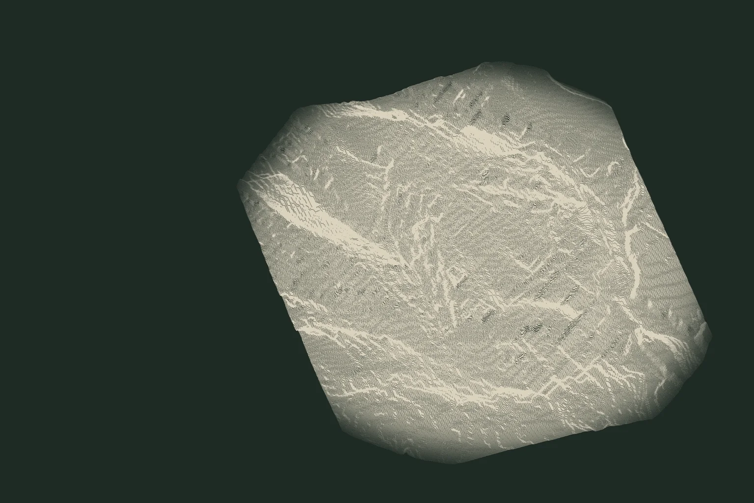
Terrain drawing of almost level land in the Campo de Murcia from the IGN 5-metre elevation model, heights exaggerated six times
Development land · Campo de Murcia

96 hectares on the plain.

Almost level land in the Campo de Murcia, south of the city: 17 minutes from the region's airport and 30 from the Mar Menor.

01 · The land

Room to plan, ground that allows it.

  • LocationCampo de Murcia · Murcia
  • LandAbout 96 ha, as studied
  • Altitude143–171 m above sea level
  • GroundAlmost level, median slope 3.5 %
  • PriceOn request

Area of the land-record parcels in the area we studied; the owner side states about 100 ha. What may be built, and where, is confirmed in the full study.
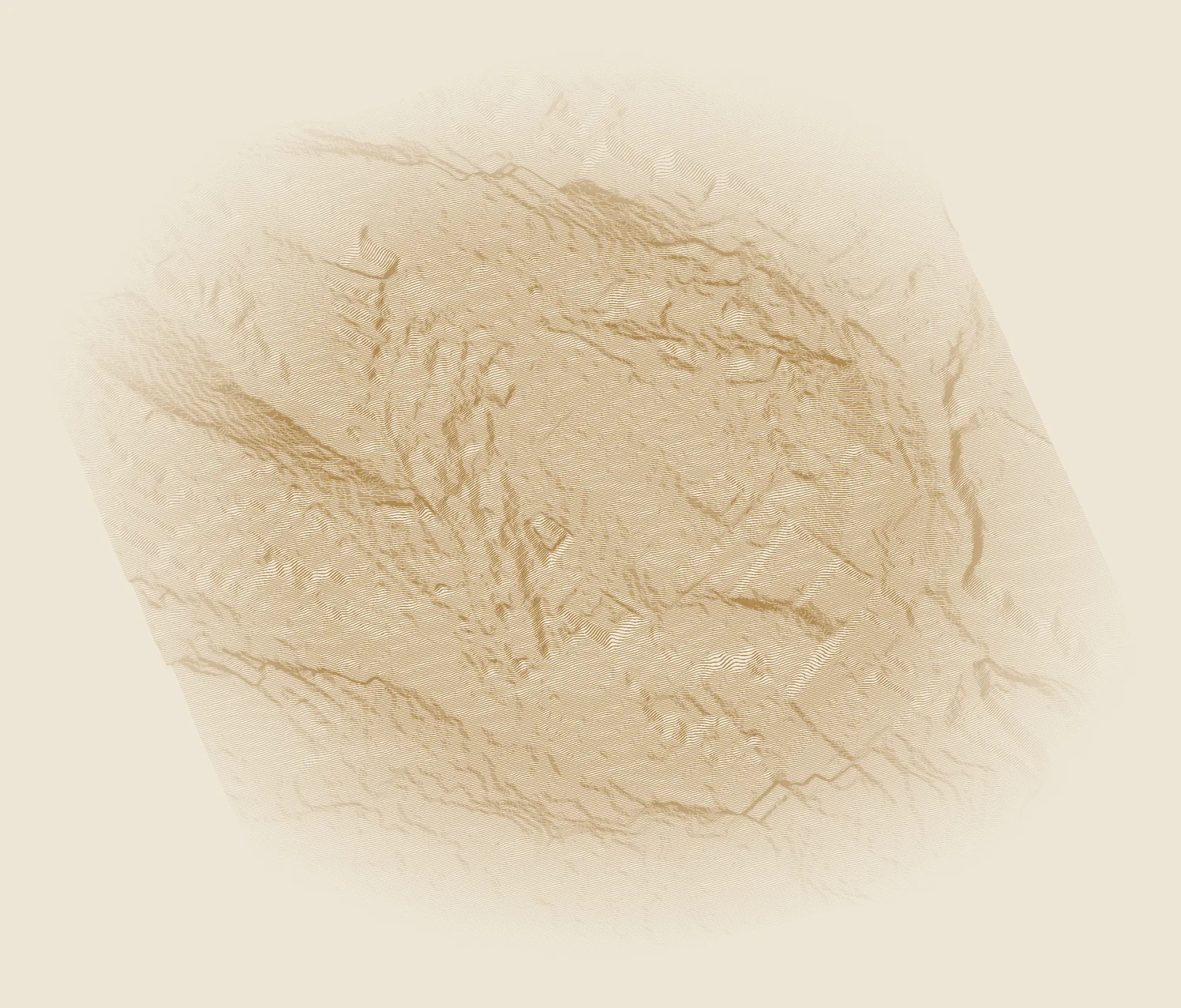
The land and its surroundings, about 2.1 × 2.4 km, drawn from the IGN 5-metre elevation model and seen from the south-south-west. Heights × 6.
The land and its surroundings, about 2.1 × 2.4 km, drawn from the IGN 5-metre elevation model and seen from the south-south-west. Heights × 6. A terrain drawing, not the land boundary.
96 ha

on the public land record, in the area we studied

28 m

between the lowest and the highest point of the land

3.5 %

median slope on the IGN 5-metre terrain model

02 · Location

Between the city and the Mar Menor.

The Campo de Murcia is the open farmland plain south of Murcia city, between the hills and the Mar Menor. Distances by road from the nearest village:

Fastest route by car from the nearest village (OpenStreetMap routing, October 2026). Times vary with traffic.
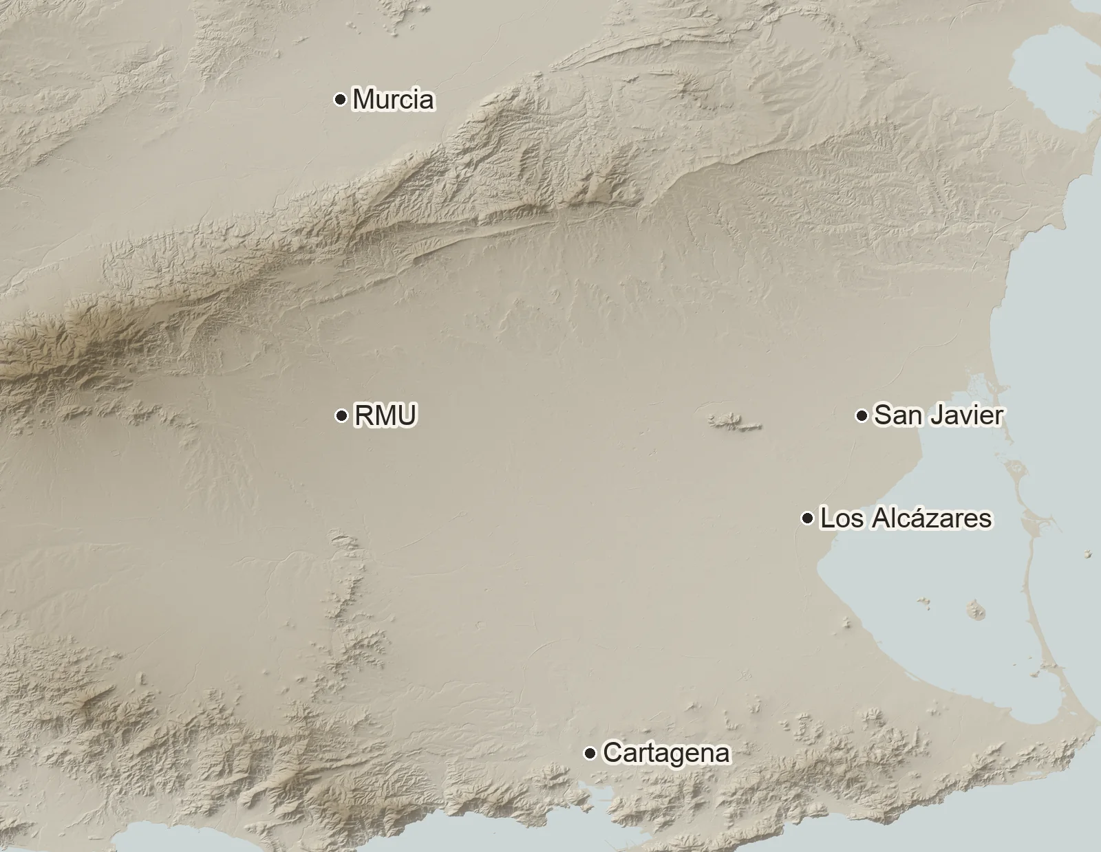
Relief map of the Campo de Murcia between Murcia, Cartagena and the Mar Menor, with the area of the land markedThe area
03 · Why this site

Why this site.

The airport17 min

By road to Región de Murcia International Airport. Alicante airport is 73 minutes.

The ground3.5 %

Median slope across the land on the 5-metre terrain model: almost level from end to end.

The city479,405

People live in the municipality of Murcia, the regional capital, 25 minutes away by road.

Notary-registered prices around it
  • Murcia€1,473 per m² · 6,238 sales
  • Torre-Pacheco€1,971 per m² · 1,066 sales
  • San Javier€1,847 per m² · 1,671 sales
  • Los Alcázares€2,074 per m² · 1,060 sales

Consejo General del Notariado, Portal de la Vivienda: average € per m² of registered sales, all property types (homes and buildings, not land), retrieved October 2026. Population: INE, 1 January 2025.

04 · Acquire

The full study is for buyers.

The land

Parcel by parcel: area, terrain and setting.

The record

Land registry, planning rules and permitted uses, document by document.

The ground

Access, water, power, drainage and the flood screen.

The market

Property evidence for the city, the plain and the Mar Menor.

Price and full study on request.

Shared with qualified buyers and their advisers.

Request price and study

Own land with possibility?

We study land the same way for owners. Tell us about yours.

Talk to us
Questions

Before you ask.

Where is ANTARES?
In the Campo de Murcia, the plain south of Murcia city, within the municipality of Murcia. By road it is about 25 minutes from the city centre, 17 from Región de Murcia airport and 30 from Los Alcázares on the Mar Menor. The exact location is shared with qualified buyers.
How large is the land?
About 96 hectares of parcels on the public land record, in the area we studied. The owner side states about 100 hectares; the full study confirms the figure parcel by parcel.
What is the terrain like?
Almost level: from 143 to 171 metres above sea level, with a median slope of 3.5 % on the IGN 5-metre terrain model, which is a guide and not a survey.
What can be built there?
That depends on the planning record, which the full study sets out and which must be confirmed with the town hall before any purchase. This page makes no claim about it.
What is the price?
On request. The price and the full study are shared with qualified buyers and their advisers.